Mount Diablo Surveyors Historical Society

  • Login
  • Home
  • About Us
    • History
    • MOTTO & Mission
    • Directors
    • Committees
  • Events
    • Past Conferences
    • Past Displays
  • Membership
    • Join MDSHS
    • Benefits
    • Charter Members
    • Life Members
    • Notable Members
    • Honoray Members
  • Resources
    • Affiliates
    • Organizations
    • Articles
  • Galleries
    • Events
    • Conferences
    • Displays
    • Fun Stuff

Welcome to Mount Diablo Surveyor Historical Society

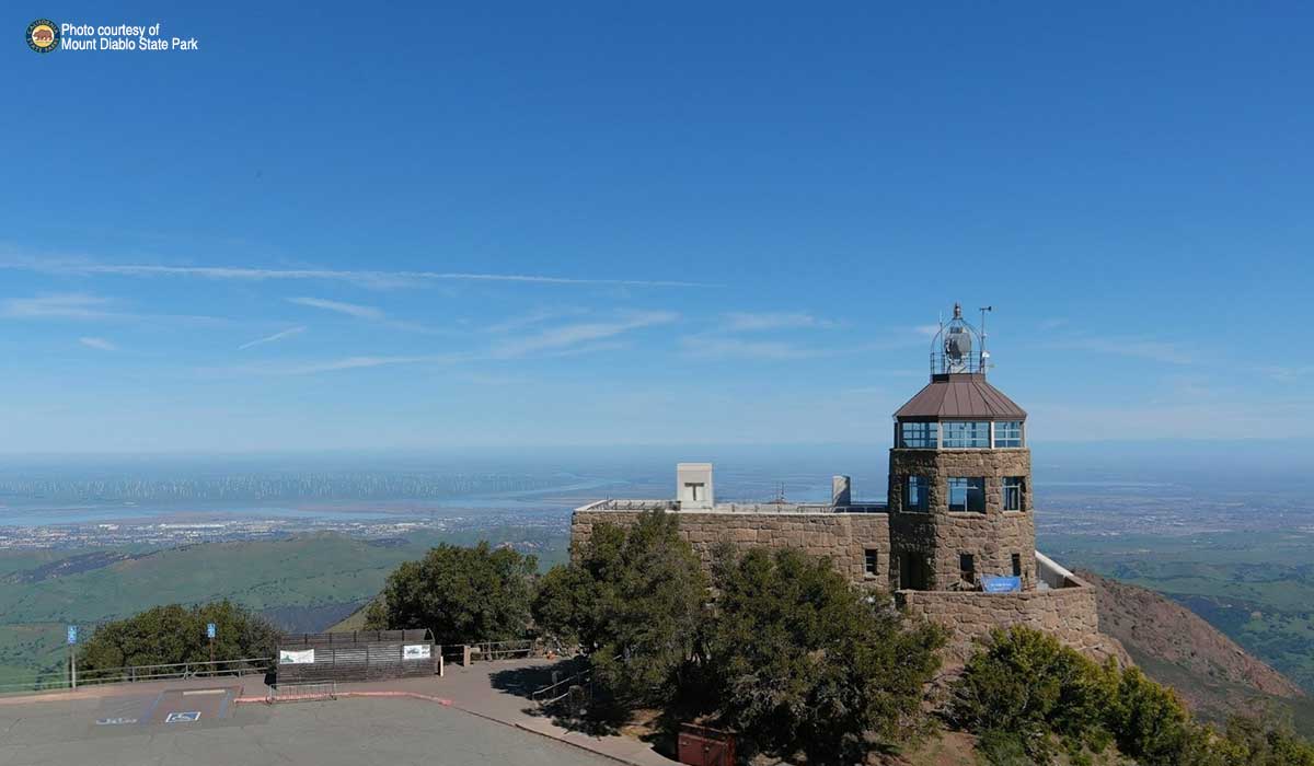
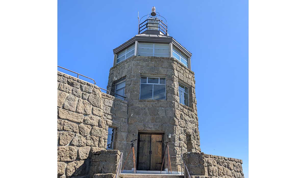
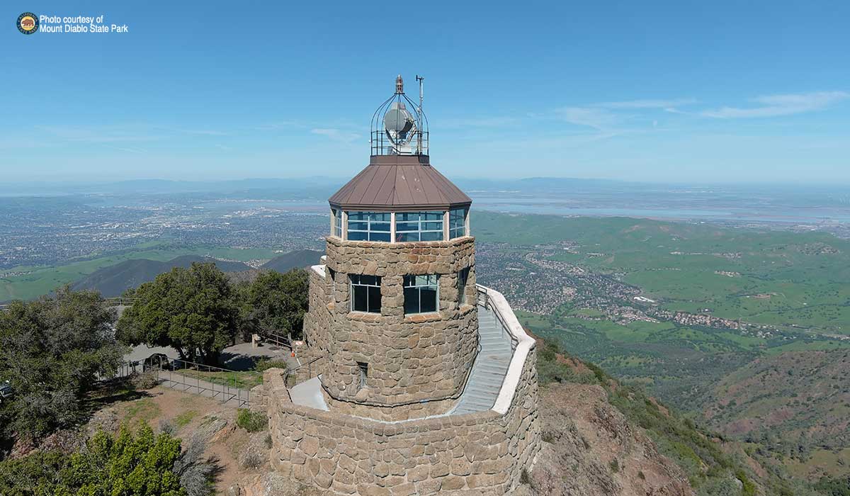
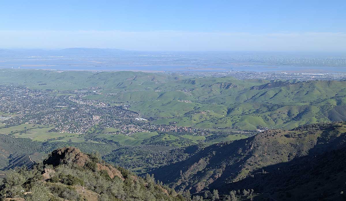
The Society membership is committed to preserving the artifacts and records of land surveyors who have worked in and around or have been influenced by the Mount Diablo Meridian located in Contra Costa County in Northern California. Various photos (by drone) have been provided courtesy of California State Parks.

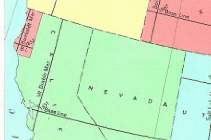
California's Initial Points

California has three initial points; Mount Diablo Base and Meridian (est. 1851) (center), San Bernardino Base and Meridian (est. 1852) (bottom), and Humboldt Base and Meridian (est. 1853) (top). Initial points are the starting points, and were established to describe and enable the government to sell public lands covering California and Nevada which were part of the Public Lands Survey System (PLSS).

======================

MOUNT DIABLO INITIAL POINT

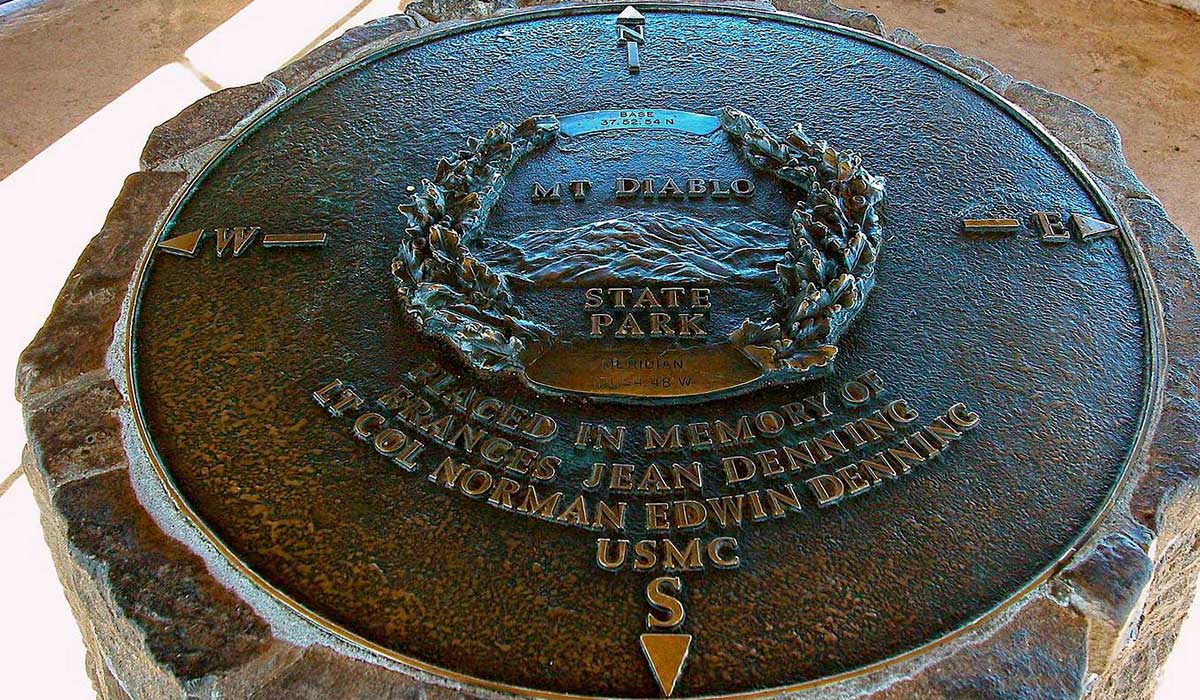
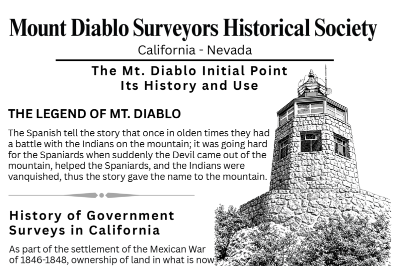
Established in July 1851 by Colonel and Deputy Surveyor Leander Ransom atop Mount Diablo, now part of the Mount Diablo State Park, in Contra Costa County, California. The Mount Diablo Initial Point is the historical geodetic reference location to serve as the origin point for the Mount Diablo Meridian and Baseline used for Public Land Surveys for most of Northern California, and all of Nevada.

www.clui.org/projects/initial-points-anchors-america%E2%80%99s-grid/init...

======================

SAN BERNARDINO INITIAL POINT

Established on November 7, 1852, by Colonel and Deputy Surveyor Henry Washington. The San Bernardino Initial Point is the surveying reference marker located near San Bernardino Peak, at an elevation of over 10,000 feet. It served as the baseline and meridian origin for nearly all Public Land surveys in Southern California.

www.clui.org/projects/initial-points-anchors-america%E2%80%99s-grid/init...

======================

HUMBOLDT INITIAL POINT

Established on October 6, 1853, by Deputy Surveyor Henry Washington. The Humboldt Initial Point is a historic geodetic survey marker located at the summit of Mount Pierce in Humboldt County, California, and serves as the origin point for the Humboldt Meridian and Baseline, which govern Public Land surveys in northwestern California.

www.clui.org/ludb/site/humboldt-meridian-initial-point
Membership

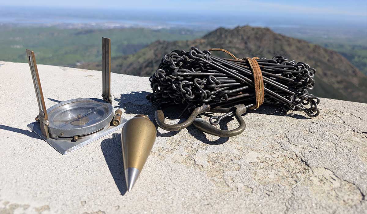
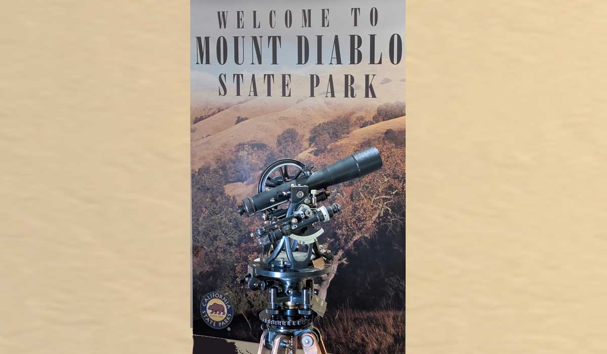
The Mount Diablo Surveyors Historical Society (MDSHS) was created to enrich the general public by collecting, preserving and displaying the knowledge, technology and artifacts of the land surveying profession. The Society is a nonprofit public benefit tax-exempt corporation, and any donations of monies, grants or artifacts are fully tax deductible.

To become a member, please fill out this form and mail it back to us.

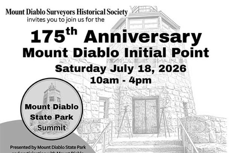
175th anniversary of the Initial Point

Join us at Mount Diablo to celebrate the 175th anniversary of the Initial Point.


Download Flier here

Next Meeting! Tuesday August 4, 2026 (7pm)

Sat, 05/23/2026 - 12:20pm by KeithN

The upcoming regular meeting is on Teams.
We invite you to arrive at 6:45 for social time, as the meeting will begin at 7pm promptly for business items.
Please see below, the Teams access information to join us at our meeting.
https://teams.microsoft.com/meet/251318174665436?p=GX16PMJy6OWNanlET9

For additional information, please send us an email to www.mdshsorg@yahoo.com

  • Read more about Next Meeting! Tuesday August 4, 2026 (7pm)
Powered by Backdrop CMS